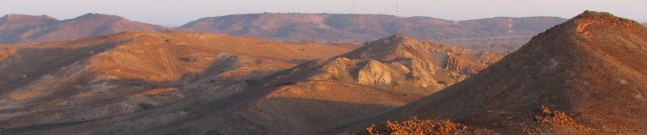
The great advantages of reinvestigating the Wadi al Jizzi region today is that we can draw on a range of satellite images, GIS technologies, and photogrammetric technologies that were not available up to recently. These technologies make it possible to recognize and document a large range of features prior to fieldwork, which can then be investigated on the ground in a more efficient manner.
documenting a Wadi Suq burial
Earlier studies in the broader Wadi al Jizzi region by scholars such as Costa, Kervran, Wilkinson, and Weisgerber, provide an excellent starting point for renewed investigations in the region. The main foci of this earlier research has been on Islamic agriculture and settlements in the direct hinterland of Sohar (Costa and Wilkinson), and mining and metallurgy in the foothills (Weisgerber, Wilkinson), and many of the sites recorded at that time no longer exist today.
The methodology of WAJAP combines intensive survey approaches with a broad regional focus in which the relationships between sites and landscape regions is of key interest. This will be done through a series of steps.
First, maps and satellite imagery is used to make a classification of landscape zones in the survey region, and identify places with potential for yielding archaeological assemblages and features.
Second, satellite imagery is used to pinpoint features of interest. An enormous amount of information on cairns, buildings, canals, and field systems can be obtained and digitized on the basis of remote sensing imagery, such as Google Earth and Aster images. Many of these features are less clearly, or sometimes not all, visible on the ground. Students will work on inputting these data into our WAJAP GIS system prior to the fieldwork campaigns.
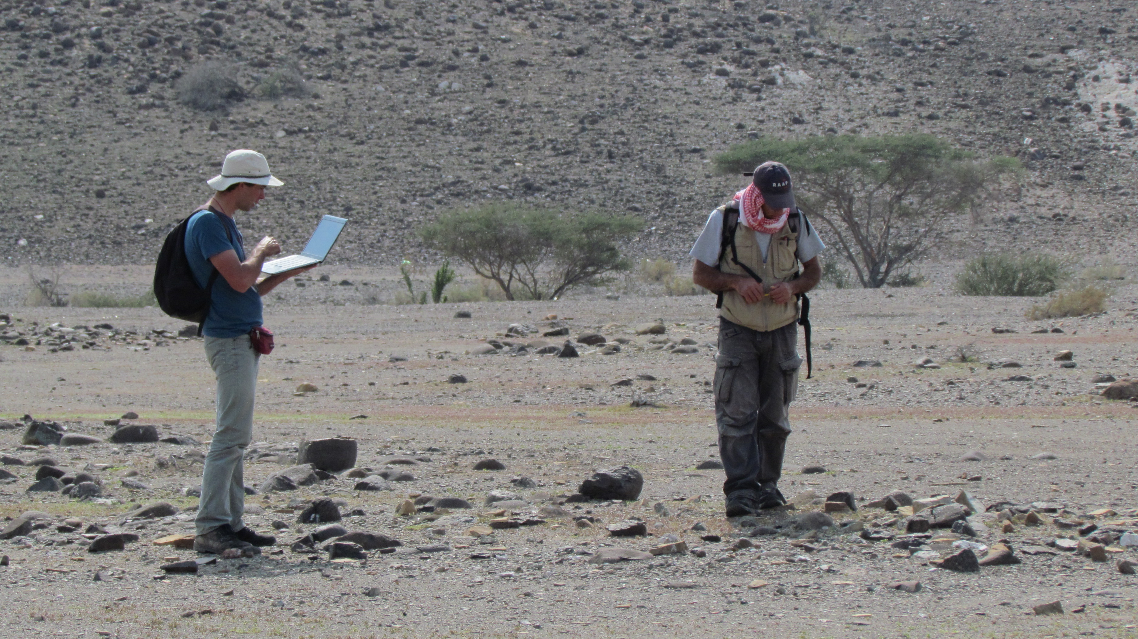
Third, selected areas will be inspected on foot both to check and augment the features spotted on satellite imagery. Digitized features are ground truthed – that is information is added which can only be observed on the spot such as construction technologies, building materials used, associated artefacts, etc. Obviously, only a selection of the total survey area can be field walked in this manner. In this process additional sites will be discovered that consist of artefact scatters and features that are not visible remotely.
Artefact scatters are documented by counting densities using clickers either in a full count, or by walking intervals of 5 or 10 meters, and we collected all diagnostic sherds, chipped stone artifacts, and miscellaneous objects.
The aim of WAJAP is to eliminate all paper forms and to input all data directly onto computers in the field to speed up the documentation process and eliminate errors.
WAJAP processes all artefacts in the course of the campaign, so that everything has been drawn, photographed, and input into the database by the end of the campaign. Of course many of our materials will need to be reassessed by specialists for publication at a later stage.